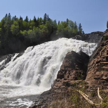
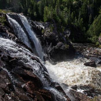
Split Rock Rapids and Lookout Trail
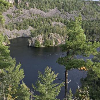
Split Rock Rapids trail is a beautiful and short trail located north of Nipigon with an incredible view of the Nipigon River. To get to the trailhead, turn down secondary highway 585 at the Petro Canada gas station in Nipigon. Follow this road about 36 km to the trailhead, which is clearly marked on the right-hand side.