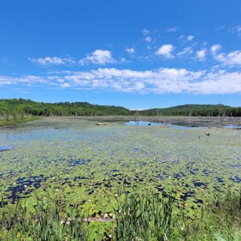
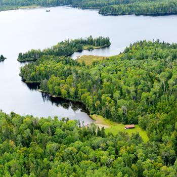
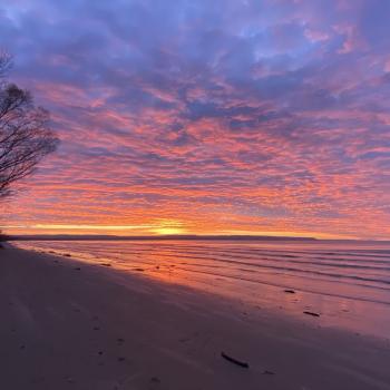
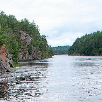
Lake House on Lake Superior
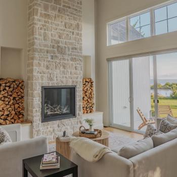
The Lake House on Lake Superior is a nordic-inspired lakeside escape off the shores of Lake Superior. Perfectly situated along Lake Superior's coastal drive we are located near some of the North's best wilderness, wellness and culinary experiences. Escape with family and friends and enjoy laidback nordic luxury.