Chippewa Park

Chippewa Park

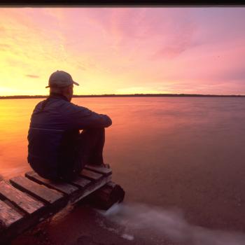
Chippewa Park hast been a favourite with visitors since it opened in 1921.
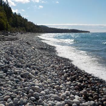
Located along the shoreline of Lake Superior, the world’s largest freshwater lake, Chippewa offers a spectacular view of the legendary Sleeping Giant. This is your destination for outdoor adventures, scenic beauty, family fun and relaxation.

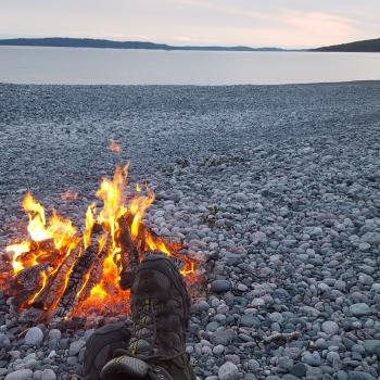
The park offers something for everyone, day and night including: concerts, sandy beaches, water activities, walking and hiking trails, camping and RV sites, an amusement park, theatre performances, sports fields and more.

Kama Cliffs Lookout

Kama Cliffs Lookout

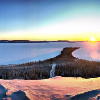
Kama Cliffs Trail is located 15.5 miles (25 km) east of Nipigon in Ontario’s Superior Country. This is a 4.5 mile (7.3 km) loop multi-use, non motorized recreation trail. The majority of the trail is considered of moderate difficulty though there is one section that is considered difficult due to steep ascent. The climb is definitely worth the effort though. Once you reach the top of Kama Cliffs you get incredible panoramic views of Nipigon Bay and it’s islands and Lake Superior as far as the eye can see.

Nipigon Bridgeview Tower

Nipigon Bridgeview Tower

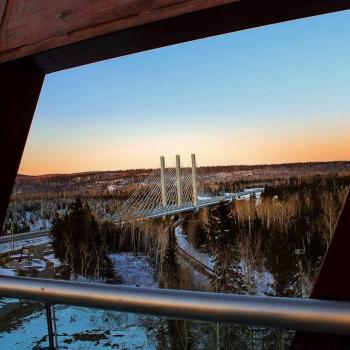
The Bridgeview Lookout Tower is located in Nipigon in Ontario’s Superior Country. This scenic lookout tower if found directly after the entrance into the town of Nipigon at the west end of the Nipigon River Bridge.

Burk's Falls Welcome Centre and Heritage River Walk

Heritage River Walk Burks Falls

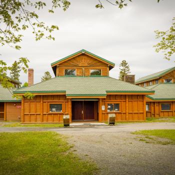
The Welcome Centre is a great place to learn what Burk's Falls has too offer. And it often has fresh-baked good for sale!

The Heritage River Walk is an easy 1.4-km walk that starts at the Centre and covered bridge, travels along the Magnetewan River and ends at the Burk's Falls Fairgrounds. You'll see a hydroelectric dam, wood sculptures, a waterfall, and options for side trails.

La Vase Portage

La zone de conservation La Vase

The La Vase Portage is a 14 km route through unspoiled areas with beaver dams and swamps. The three portages together constitute a key link between the Mattawa River flowing east to Lake Nipissing and the French River flowing west into Georgian Bay.

Quetico Provincial Park

Quetico Provincial Park Night Sky

From Highway 17, you’ll be routed onto highway 11 which will bring you 150 km west to the park’s entrance. Covering an area of 460,000 ha, showcasing ample beauty to be seen everywhere you look and memorable experiences to discover. Spend the remainder of your day exploring the rugged beauty the park has to offer, from majestic waterfalls to endless snowshoe trails, there’s endless adventure.

Mission Island March Conservational Area

Mission Island Conservational Area

An area treasured by locals, it is the perfect escape from the hustle and bustle of the city. Located at 106th South Street, Thunder Bay, the island is conveniently located for locals and tourists. View the Sleeping Giant while exploring the paths and boardwalks and view and experience wildlife up close—the island is home to hundreds of migratory birds and a healthy deer population. Many visit the island solely to see the deer. Be sure to bring the camera along to capture your encounters!

Katherine Cove

katherine cove beach and water

Katherine Cove, located in Lake Superior Provincial Park, is a sheltered bay on the Big Lake. The turn-off to the rest area is well marked and visitors are greeted to ample parking, restroom facilities, a soft sandy beach, and interpretive signage.

Thrive Tours

Two canoes on water with people

Thrive Tours is Indigenous-owned and operated offering interpretive guided eco-cultural tourism experiences in Northern Ontario. Reconnect with nature with quality experiences and adventure through guided canoe, kayak, hiking, snowshoeing, and year-round camping. Contact by phone or email to book your adventure!

Deer Lake Mountain - John Ahl Lookout

John Ahl Lookout

Deer Lake Mountain Trail just outside of Nipigon is an amazing 6.6 km loop and offers multiple lookouts to view a beautiful palette of fall colours. My favourite lookout is the John Ahl lookout and can be done as an up and back for a shorter hike. To get here, from Highway 11/17, turn down Hwy 585 right by the Petro Canada gas station and drive 3.4 km. There is clear signage and a trailhead sign on the left.

Subscribe to Hiking