Pakwash Provincial Park

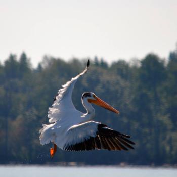
Pelican Pakwash Provincial Park

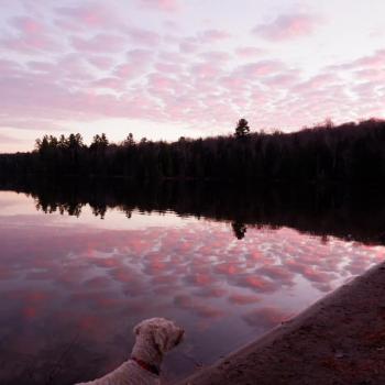
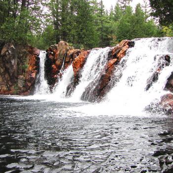
Pakwash Provincial Park is located 19 km north of Ear Falls, and is home to a 1.5 kilometer long sand beach, campgrounds, nature trails, aboriginal rock paintings and over 65 species of birds.

Bon Echo Provincial Park

Bon Echo Provincial Park

Bon Echo Provincial Park is home to the 100-metre-high Mazinaw Rock, featuring over 260 Indigenous pictographs. Explore the park's RV, car camping, backcountry, and roofed accommodations, beaches and great hiking trails from 1 km in length to 17 km in length. Interpretive boat tours are offered on Mazinaw Lake and over to Mazinaw Rock.

Silent Lake Provincial Park

Silent Lake Provincial Park

Silent Lake Provincial Park offers 19 km of hiking trails and 17 km of mountain biking trails, two sandy beaches, campsites as well as heated, four-season roofed accommodations (yurts & camp cabins), and more than 34 km of groomed winter cross-country ski trails.

Rainy Lake Nordic Ski Club

Rainy Lake skiier

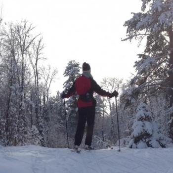
The Rainy Lake Nordic Ski Club trails are located in Northwestern Ontario just outside of Fort Frances, and are open to the public. The trails cover 15 km of groomed skate & classic tracks and 5 km of snowshoe trails. Rental equipment (self-serve) is available on site. All ages are welcome.

La Verendrye Parkway

La Verendrye Parkway

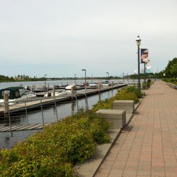
Located in Fort Frances along the beautiful Rainy River, La Verendrye Parkway offers a scenic backdrop to whatever activity you currently enjoy. Whether walking, jogging, biking, or simply out for a peaceful stroll, this two-mile cobblestone walkway is the place to be. Take a break at any of the many benches and picnic pavilions along the route. Strategically placed informational plaques capture the essence of the river's historical past.

8th Street Walking and Ski Trail

8th street trail sign fort frances

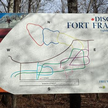
Located at the end of Eighth Street East on the fringe of the town of Fort Frances, 2.5 km (1.6 mi) of hiking trails loop and intertwine with 6 km (3.7 mi) of ski trails and a snowmobile trail. 

Paradise Lagoon

Paradise Lagoon Chiniguchi Northeastern Ontario

Most canoeists who pass along the Chiniguchi River don’t even know the lagoon exists, as it lies off the portage and across from the main course of the river and associated waterfall. Passersby see the falls, but portage right past the lagoon.

Wolf Lake Mountain

Wolf Mountain Winter Sunset

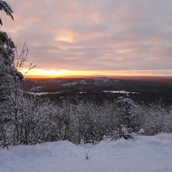
Located just outside the boundaries of the world’s largest old-growth red pine forest, Wolf Lake Mountain is the highest point within the boundaries of the City of Greater Sudbury. The Chiniguichi area is a beautiful canoeing destination with its clear acidified lakes, old growth pine forests, and ancient pictographs.

Hattie Cove Fire Walk

Hattie cove Pukaskwa

Hattie Cove Fire Walk is a 0.4 mile (0.7 km) trail within Pukaskwa National Park. Take a walk through the Hattie Cove Prescribed Fire area and learn about the role of fire in a boreal ecosystem. Roughly one hectare in size, see for yourself how quickly regeneration occurs in the forest.

Group Of Seven (Interpretive Panel) - Rossport Wardrop Park

 Interpretive Panel in Rossport Wardrop Park

The scenic harbour and inland islands of Rossport provided inspiration to Lawren Harris and many contemporary painters to the Group of Seven. You’ll find an interpretive installation in Wardrop Park as well as the start of the Rossport Coastal Trail, which winds its way for 1.5 km along Lake Superior to the Roadside Park Rest Area. After visiting the park, stop by the government dock for a view of Quarry Island from a vantage point close to where Harris painted Rossport, Lake Superior in 1921.

Subscribe to Hiking Trails