Wolf Lake Mountain

Wolf Mountain Winter Sunset

Located just outside the boundaries of the world’s largest old-growth red pine forest, Wolf Lake Mountain is the highest point within the boundaries of the City of Greater Sudbury. The Chiniguichi area is a beautiful canoeing destination with its clear acidified lakes, old growth pine forests, and ancient pictographs.

Hattie Cove Fire Walk

Hattie cove Pukaskwa

Hattie Cove Fire Walk is a 0.4 mile (0.7 km) trail within Pukaskwa National Park. Take a walk through the Hattie Cove Prescribed Fire area and learn about the role of fire in a boreal ecosystem. Roughly one hectare in size, see for yourself how quickly regeneration occurs in the forest.

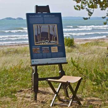
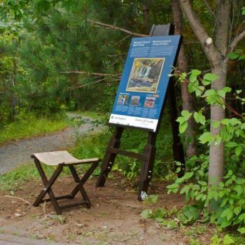
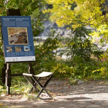
Group Of Seven (Interpretive Panel) - Rossport Wardrop Park

 Interpretive Panel in Rossport Wardrop Park

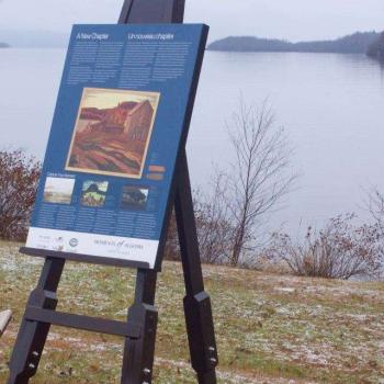
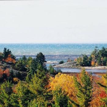
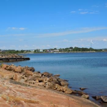
The scenic harbour and inland islands of Rossport provided inspiration to Lawren Harris and many contemporary painters to the Group of Seven. You’ll find an interpretive installation in Wardrop Park as well as the start of the Rossport Coastal Trail, which winds its way for 1.5 km along Lake Superior to the Roadside Park Rest Area. After visiting the park, stop by the government dock for a view of Quarry Island from a vantage point close to where Harris painted Rossport, Lake Superior in 1921.

Group Of Seven (Interpretive Panel) - Neys Provincial Park

Neys PP Interpretive Panel

Head to the Visitor Centre to chat with staff about the Group of Seven, and to access the awe-inspiring vistas that drew Lawren Harris and the Group of Seven back to this area for many years. Take a mid-way hike break with expansive panoramic views at the gazebo which is in the middle of the 9 km round trip hike on the Pic Island Overlook Trail. Find a Moments of Algoma interpretive installation which highlights even more details about the Group of Seven and their treks along this same landscape.

Group Of Seven (Interpretive Panel) - Chippewa Falls

Interpretive panel in Chippewa Falls

Stretch your legs at Chippewa Falls rest stop and see the same set of rapids that inspired A.Y Jackson’s sketch Stream Bed, Lake Superior Country, c. 1955, National Gallery of Canada, Ottawa. Grab your camera and try a long exposure shot to see if you can freeze the fast-paced water with your own artistic flair.  

Elliot Lake Fire Tower

view of fall colours from fire tower lookout

A replica of a fire ranger's lookout station that provides a 360-degree, panoramic view. Observe the area's former mine sites that are now returned to their natural state, take in breathtaking scenery and a glimpse of Manitoulin Island on the North Channel of Lake Huron.

Magic Falls - Kama Cliffs

Magic Falls

Magic Falls is located 25 km (15.5 miles) east of Nipigon along Highway 17. This is a little known waterfall tuck away in the forest not far from the highway. To find this waterfall, get to the Kama Cliffs trailhead and just a short distance west of the trail you will find a narrow path that leads you to it. If you listen closely you will be able to hear the sound of the rushing falls before the path starts. This is a great place to begin your hike up Kama Cliffs Trail.

Aguasabon Falls & Gorge

Aguasabon Falls

Aguasabon Falls is in Terrace Bay, off Highway 17. It is one of the entrances to the Casques Isles Hiking Trail. The area has an accessible boardwalk, picnic tables, RV friendly parking lot, and washrooms. Admire the 100 ft waterfall, as it cascades into the beautiful Aquasabon Gorge below.  It is here you will find a 2.6-billion-year-old rock face worth exploring. Aguasabon Falls is a stunning must see stop while traveling along the North Shore of Lake Superior, visiting Superior Country, or driving along the Lake Superior Circle Tour. 

Woodland Loop - Boom Camp Interpretive Park Trails

Woodland Loop - Boom Camp Interpretive Park Trails fall colours

The Woodland Loop is ideal for hiking or biking. Shoreline Geology is the primary focus with interpretive information on the unique geological formations that gave rise to early mining and logging activities in the region. The trail is 5.3 km long extending out from the east pavilion with two scenic lookout areas overlooking the wetland areas and Lake Huron.

Subscribe to Hiking Trails