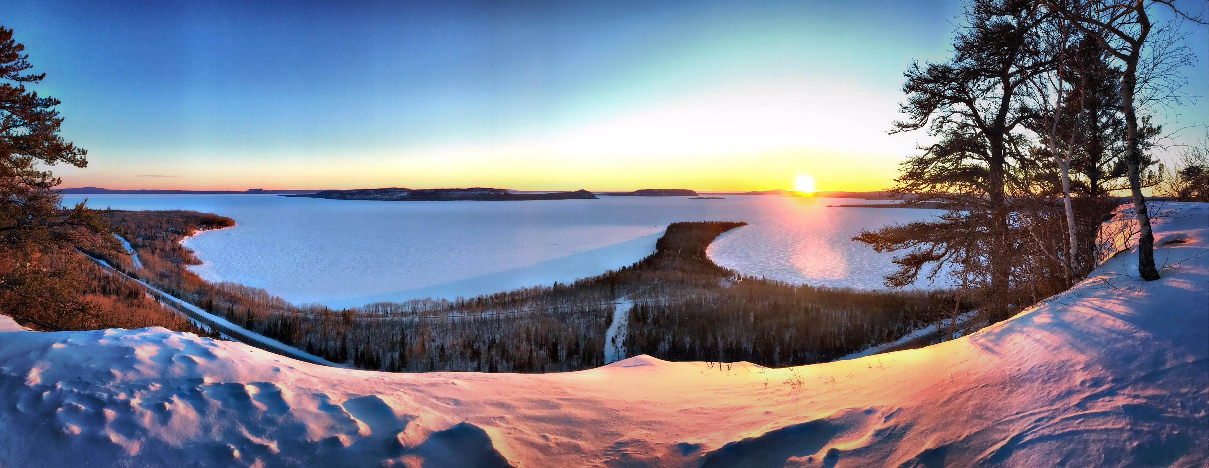
Kama Cliffs Trail is located 15.5 miles (25 km) east of Nipigon in Ontario’s Superior Country. This is a 4.5 mile (7.3 km) loop multi-use, non motorized recreation trail. The majority of the trail is considered of moderate difficulty though there is one section that is considered difficult due to steep ascent. The climb is definitely worth the effort though. Once you reach the top of Kama Cliffs you get incredible panoramic views of Nipigon Bay and it’s islands and Lake Superior as far as the eye can see. Make sure you leave yourself enough time to relax and soak in the awe inspiring vistas before continuing back.
Travel directions: From Nipigon drive 15.5 miles (25 km) east on Highway 17, (0.5 km) west of the Jackpine River Bridge. Enter Kama Bay Road and you will find a parking lot. Once parked, cross the highway and look for the trailhead sign.
Highway 17
Dublin ON P0T 3C0
Canada